Travel Guide of Île Verte in France by Influencers and Travelers
L'Île Verte is a neighborhood in Grenoble, located in a bend in the river Isère. It is relatively independent from downtown. The district is one of the most heavily populated in the town, due primarily to the large apartments.
Download the Travel Map of France on Google Maps here
Pictures and Stories of Île Verte from Influencers
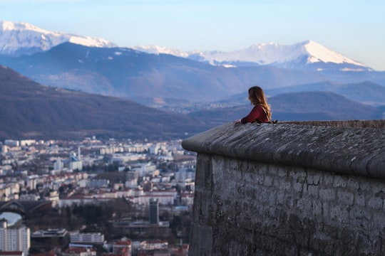
Picture from Maxence Pira who have traveled to Île Verte
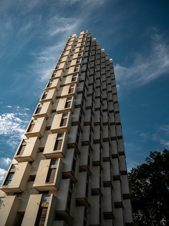
- One of the three towers of Grenoble ...click to read more
- Experienced by @Maxence Pira | ©Unsplash
Plan your trip in Île Verte with AI 🤖 🗺
Roadtrips.ai is a AI powered trip planner that you can use to generate a customized trip itinerary for any destination in France in just one clickJust write your activities preferences, budget and number of days travelling and our artificial intelligence will do the rest for you
👉 Use the AI Trip Planner
The Best Things to Do and Visit around Île Verte
Disover the best Instagram Spots around Île Verte here
1 - Grenoble Cathedral
Grenoble Cathedral is a Roman Catholic church located in the town of Grenoble, France. It is a national monument, and is the seat of the Bishop of Grenoble.
View on Google Maps Book this experience
2 - Bastille
The Bastille is the name of a fortress culminating at 476 m above sea level, located at the south end of the Chartreuse mountain range and overlooking the city of Grenoble, France.
Learn more Book this experience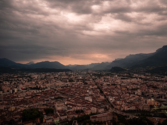

3 - Rock climbing in Grenoble
Enjoy 30 minutes free access to Hapik Grenoble and discover 100% fun climbing! Hapik Grenoble isn't your traditional climbing gym... it's a one-of-a-kind venue combining leisure and sporting challenge. Whether you're looking to climb solo, with famil...
Learn more
4 - Musée dauphinois
The Musée dauphinois is a county museum, located in Grenoble. The museum was founded in 1906 by the ethnographer Hipollyte Müller. Until 1968, it was installed in the convent of Sainte-Marie-d'en-Bas in the street Très-Cloîtres. It is an ethnographic, archaeological and historical museum, covering the territory of the former province of Dauphiné.
View on Google Maps Book this experience
5 - Saint-Égrève
6 km away
Saint-Égrève is a commune in the Isère department in southeastern France. It is part of the Grenoble urban unit.
Learn more
6 - Via Ferrata in Grenoble
Opened in October 1999, the via ferrata de la Bastille is located in Grenoble city centre. You climb Grenoble's historic fortress, set on the western cliffs of the mountain overlooking the Jardin des Dauphins.From the Bastille cliffs, this is Fr...
Learn more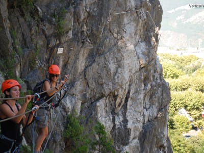
7 - Saint-Ismier
9 km away
Saint-Ismier is a commune in the Isère department in southeastern France. It is part of the Grenoble urban unit.
Learn more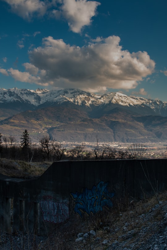

8 - Fontanil-Cornillon
9 km away
Fontanil-Cornillon is a commune in the Isère department in southeastern France.
Learn more
9 - Vía Ferrata in Grenoble
Come and discover the incredible via ferrata de la Bastille with a breathtaking view of Grenoble, the capital of the Alps. Starting from the Porte de France in the heart of Grenoble, the via ferrata de la Bastille is one of the only urban via ferrata...
Learn more
10 - Chamrousse
14 km away
Chamrousse is a ski resort in southeastern France, in the Belledonne mountain range near Grenoble in the Isère department. It is located in a commune of the same name and is situated on the Recoin at 1,650 m and the Roche Béranger at 1,750 m.
Learn more Book this experience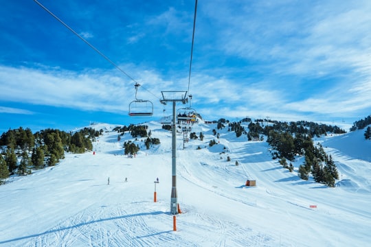
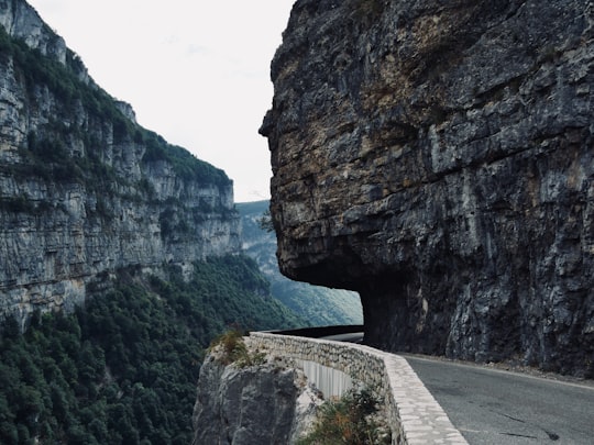
11 - Vercors Natural Regional Park
14 km away
Learn more
12 - Canyoning in Grenoble
6 km away
Descend the lower part of the Furon canyon in Grenoble and enjoy a refreshing canyoning experience in the Vercors! Ideally located at the gates of Grenoble, in Sassenage, the Furon canyon is ideal to discover canyoning in the Vercors. It is also a mu...
Learn more
13 - Autrans
16 km away
Autrans is a former commune in the Isère department in the Rhône-Alpes region of south-eastern France. On 1 January 2016, it was merged into the new commune of Autrans-Méaudre-en-Vercors.
Learn more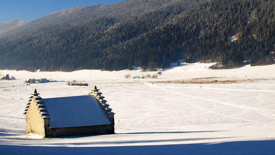
14 - Grenoble
20 km away
Grenoble is a city in southeastern France, at the foot of the French Alps where the river Drac joins the Isère. Located in the Auvergne-Rhône-Alpes region, Grenoble is the capital of the department of Isère and is an important European scientific centre.
Learn more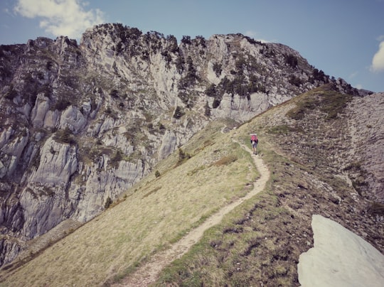
15 - Barranquismo in Grenoble
6 km away
Located only 15 minutes from Grenoble in the Chartreuse Massif, the canyon of the Infernet is very steep with many obstacles, between canyoning and caving. The Infernet canyon is one of the most beautiful canyons around Grenoble. Very steep, you will...
Learn more
16 - Chartreuse
21 km away
The Chartreuse Mountains are a mountain range in southeastern France, stretching from the city of Grenoble in the south to the Lac du Bourget in the north.
Learn more Book this experience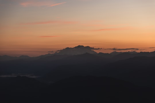
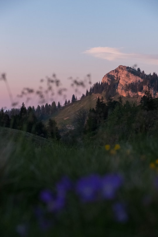
17 - Rhone-Alpes
23 km away
Learn more
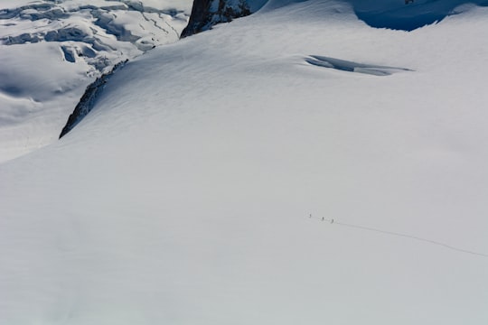
18 - Pas de l'œille
23 km away
Learn more
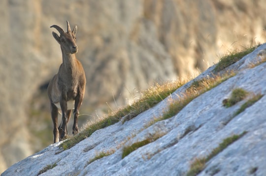
19 - Cirque de Saint-Même
25 km away
The Cirque de Saint-Même is a natural amphitheater located in the east end of the massif de la Chartreuse in the French departments of Savoie and the Isère districts separated by the Guiers Vif, river through the natural circus.
Learn more Book this experience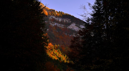
20 - Oisans
28 km away
L'Oisans is a region in the French Alps, located in the départements of l'Isère and Hautes-Alpes, and corresponding to the drainage basin of the River Romanche and its tributaries.
View on Google Maps Book this experience
21 - Alpe d'Huez
30 km away
L'Alpe d'Huez is a ski resort in southeastern France at 1,250 to 3,330 metres. It is a mountain pasture in the Central French Western Alps, in the commune of Huez, which is part of the department of Isère in the region of Auvergne-Rhône-Alpes.
Learn more Book this experience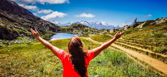
22 - Col de Sarenne
34 km away
Col de Sarenne is a mountain pass located in the Grandes Rousses massif, approximately 9 km east of Alpe d'Huez in the Isère department of France. The pass connects Alpe d'Huez with the villages of Mizoën and Le Freney-d'Oisans in the Romanche valley.
Learn more Book this experience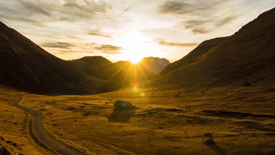
23 - Lac des Quirlies
34 km away
Learn more
24 - Col du Glandon
35 km away
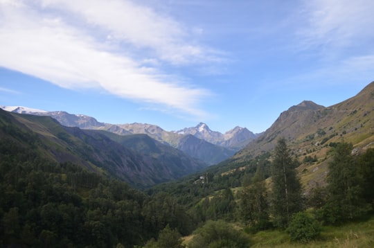
Col du Glandon is a high mountain pass in the Dauphiné Alps in Savoie, France, linking Le Bourg-d'Oisans to La Chambre. It is situated between the Belledonne, Grandes Rousses and Arvan-Villards mountain ranges, west of the Col de la Croix de Fer.
Learn more Book this experience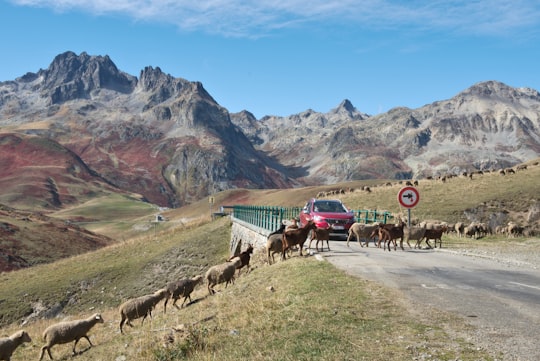
25 - Les 2 Alpes
36 km away
Les Deux Alpes is a ski resort in the French department of Isère, Auvergne-Rhône-Alpes. The village sits at 1,650 m and lifts run to 3,600 m.
Learn more Book this experience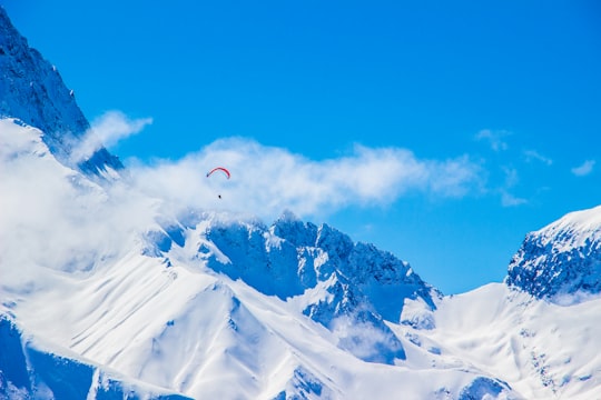
Book Tours and Activities in Île Verte
Discover the best tours and activities around Île Verte, France and book your travel experience today with our booking partners
Where to Stay near Île Verte
Discover the best hotels around Île Verte, France and book your stay today with our booking partner booking.com
More Travel spots to explore around Île Verte
Click on the pictures to learn more about the places and to get directions
Discover more travel spots to explore around Île Verte
🗼 Landmark spotsTravel map of Île Verte
Explore popular touristic places around Île Verte
Download On Google Maps 🗺️📲